The ancient village of Buscot is settled on one of the most tranquil and untouched stretches of the River Thames. This charming area around the Lock Cottage close to the Thames Path makes for a lovely dog walk in Oxfordshire.
| Distance | Total Time | Difficulty |
| 6.29 km | 01:46 | Easy |
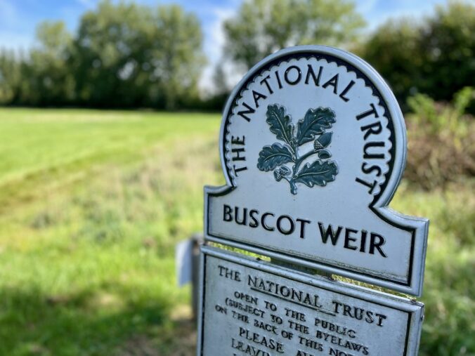
Buscot is part of the National Trust, and many of the houses in the village are owned by the organisation. The parish church, Church of Saint Mary, was built in about 1200! I did not use the term ancient in the first paragraph loosely. It is indeed an ancient village and a very pretty one at that.
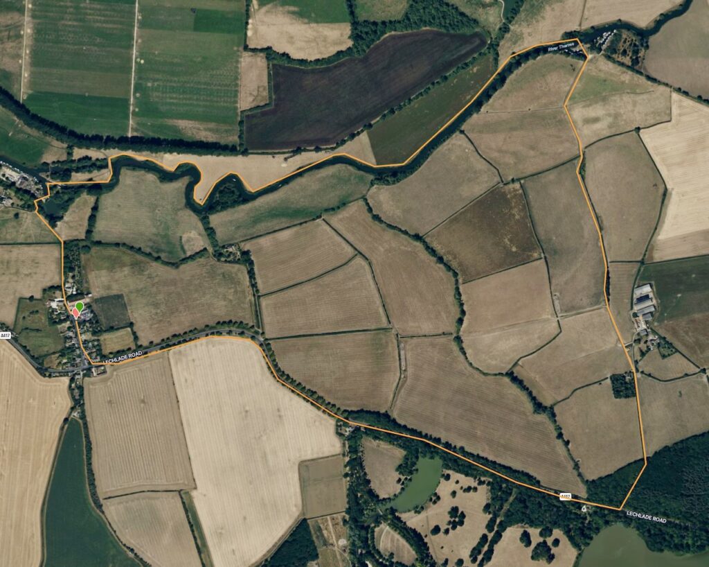
I got the idea to visit Buscot for a dog hike from the National Trails website, which describes a circular walk of about 3 miles.

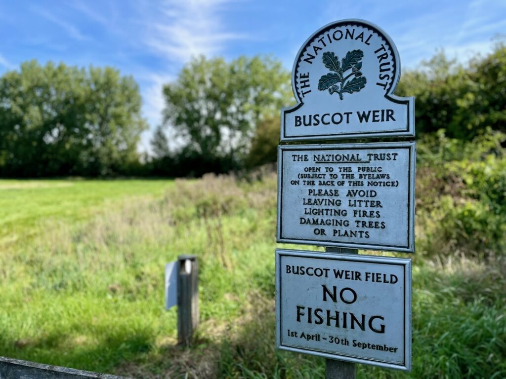
There is ample parking, but remember to get some coins as card payment is not accepted, and the phone signal was quite poor, so we could not use the Pay By Phone app from there.
The car park is free for National Trust members. For non-members, it costs £2 for up to 2 hours and £4 for the whole day. To get to the car park, we used the postcode SN7 8DA.
Don’t forget to check the post notes at the bottom of the page, with maps, a detailed table about the hike and links to everything mentioned in the post.
The Hike
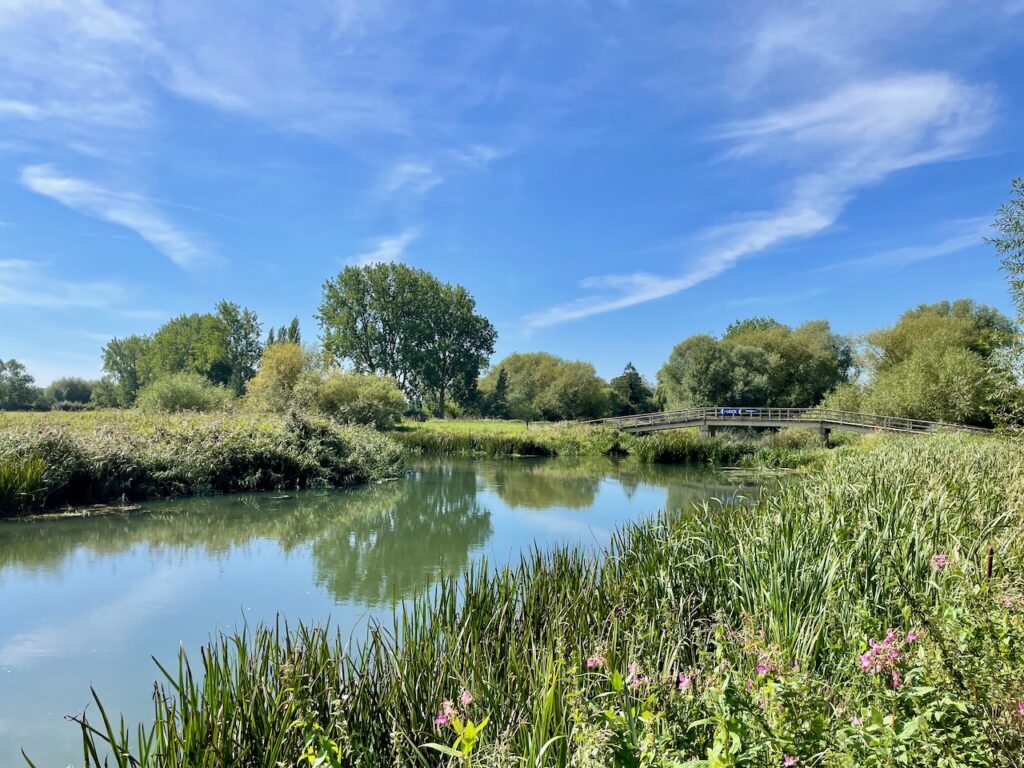
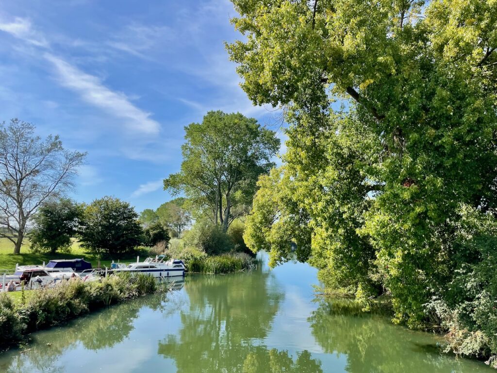
We left the car park and turned right, passing a barn-like building. We soon saw signs to Buscot Weir and from there we simply followed the path, which offered beautiful river views.
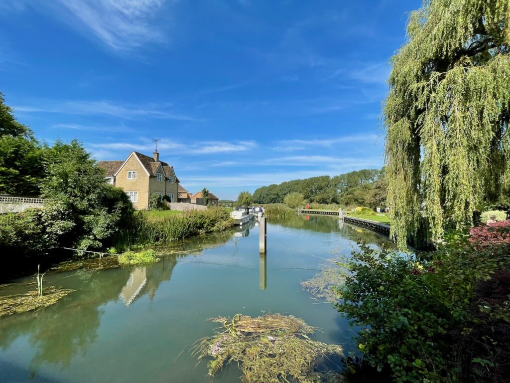
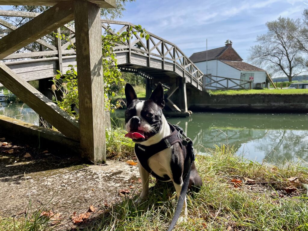
We then got to the bridge over the River Thames and could see the Lock Cottage. This section is very pretty and has a lovely grass area after crossing the bridge.
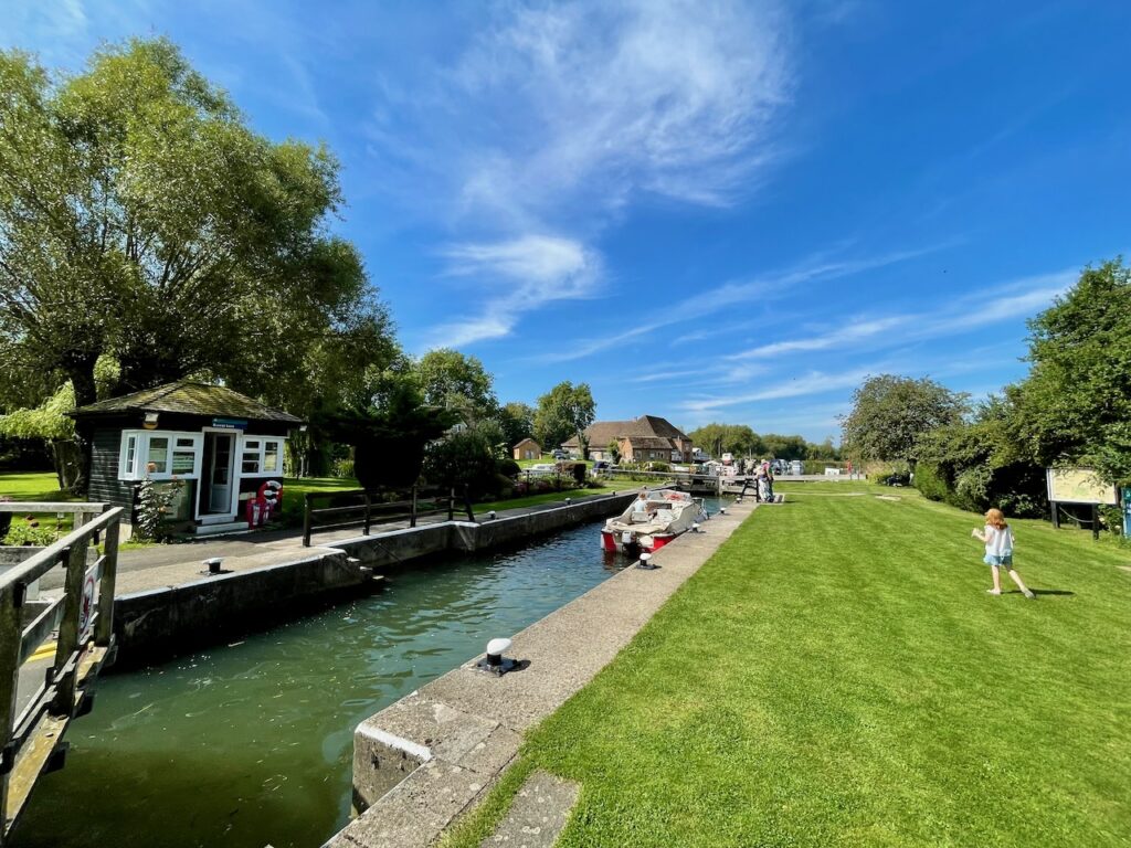
The lock area is beautiful, and we were lucky enough to see it in use as a couple of boats were travelling both sides of the river through it.
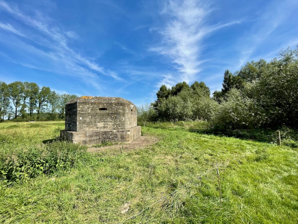
From there, we followed the path by the river, crossing a few gates, then another bridge, at which point there was a WWII bunker. Every so often, we saw a boat passing calmly in the river, making the hike even more romantic.
We kept walking by the river, passed one more bunker, saw some ducks and swans in the river (for the excitement of the girls), and finally got to Eaton Footbridge leading to a boat club. This is another serene location and very pretty to take in.
We crossed the footbridge and passed the boat club, and then turned right, passing a farm gate and onto a road.
The National Trails site says to turn right again before crossing the next gate, but we didn’t and it probably would have been a better walk if we did. Something to keep in mind if you are tracing our hike.
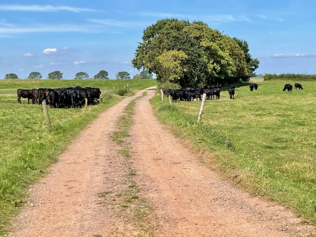
We passed through a couple of farms with loads of cattle grazing and then into a short stretch of woods until we got to Lechlade Road.
The gang then turned right and followed the road until returning to Buscot village. As I mentioned above, it wasn’t a very exciting section and we spent too long walking on Lechlade road. The only thing of notice in this stretch was the Buscot Park, but it was closed at the time we walked past.
It was a good 6k walk, and there is a dog-friendly café and an ice cream place by the car park. If we were to go back there, we probably would explore the village a bit more, as well as Buscot Park grounds. All in all an excellent dog walk in Oxfordshire.
Cheers,
Ademar
Full Details Table
| Location | Buscot Village, Oxfordshire |
| Parking Postcode | SN7 8DA |
| Parking Cost | £2 Up to 2 hours £4 All day |
| Starting Point | Car Park |
| End Point | Car Park |
| Total Time | 01:46 |
| Difficulty | Easy |
| Distance | 6.29 km |
| Elevation | 70 m – 94 m |
| Facilities | – Café – Ice-cream place – Dog waste bins |
| Dog friendly rating | 4 stars |
| Points of Interest | – Buscot Village – Buscot Weir and Lock – Lock Cottage – Thames Path – WWII Bunkers |
Maps


Leave a Reply